

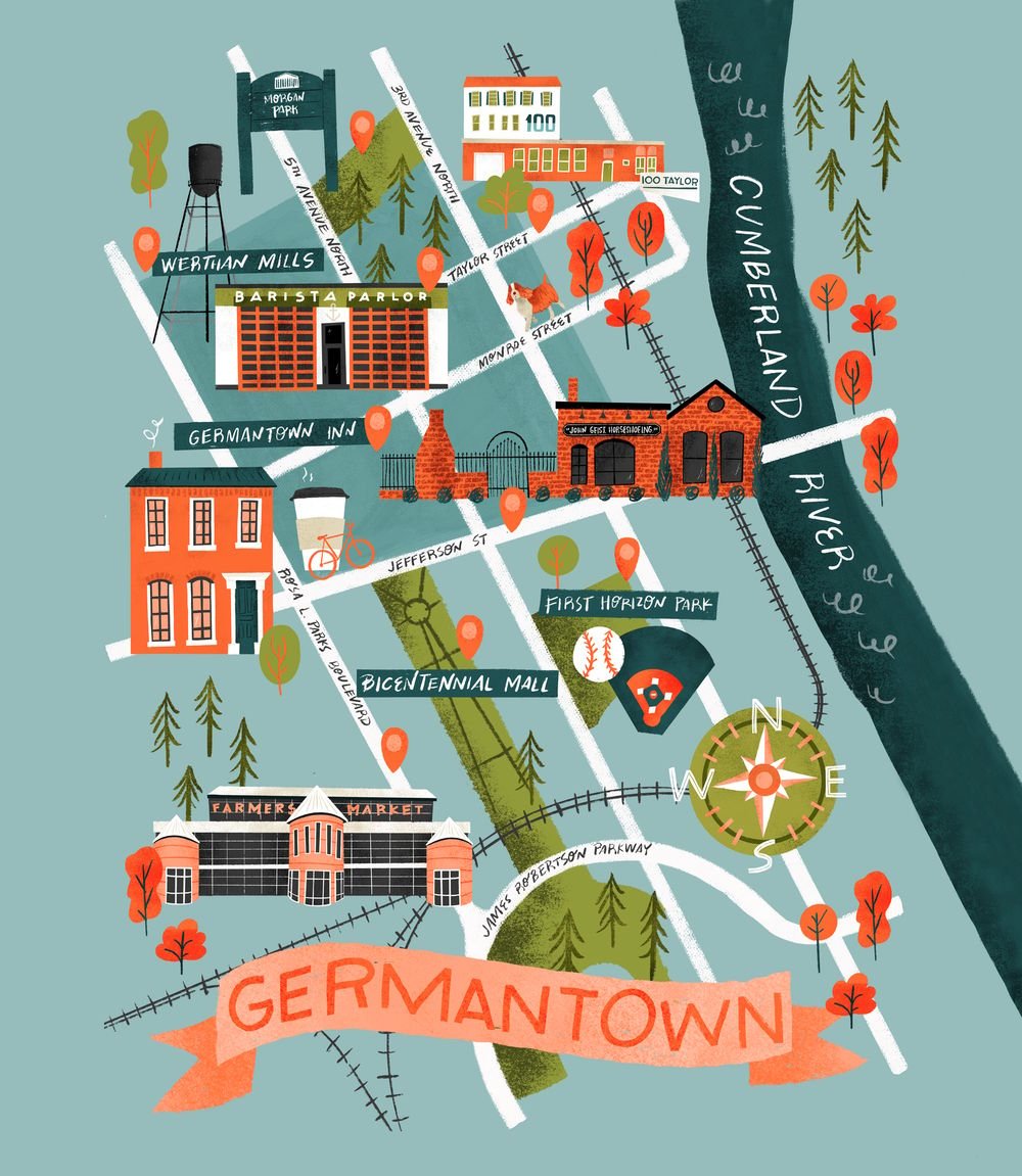
Inky Maps: Illustrate a Beautiful Map using Analog and Digital Media
If you’ve ever wanted to learn how to create an illustrated map, this class will be perfect for you. Join Mr. Tom Froese as he shows you, step by step, how to illustrate a map of your hometown or favourite city building on the techniques in his popular class, Inky Illustrations: Combining Analog and Digital Media. Along the way, you’ll learn how to apply his techniques to more detailed and advanced illustrations. You’ll pick up some new skills in brainstorming and researching for map illustrations, working with colour, and learn a ton of what goes into choosing what goes into a successful, charming map illustration. As always, you’ll get a very detailed account of Tom’s process, as he guides you through many decisions along the way.
Get 30 Free Days on Skillshare
〰️
Use This Link
〰️
Get 30 Free Days on Skillshare 〰️ Use This Link 〰️
Student Projects from This Class
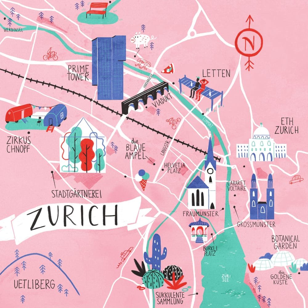
Evgenia Gerts
Giulia Martinelli
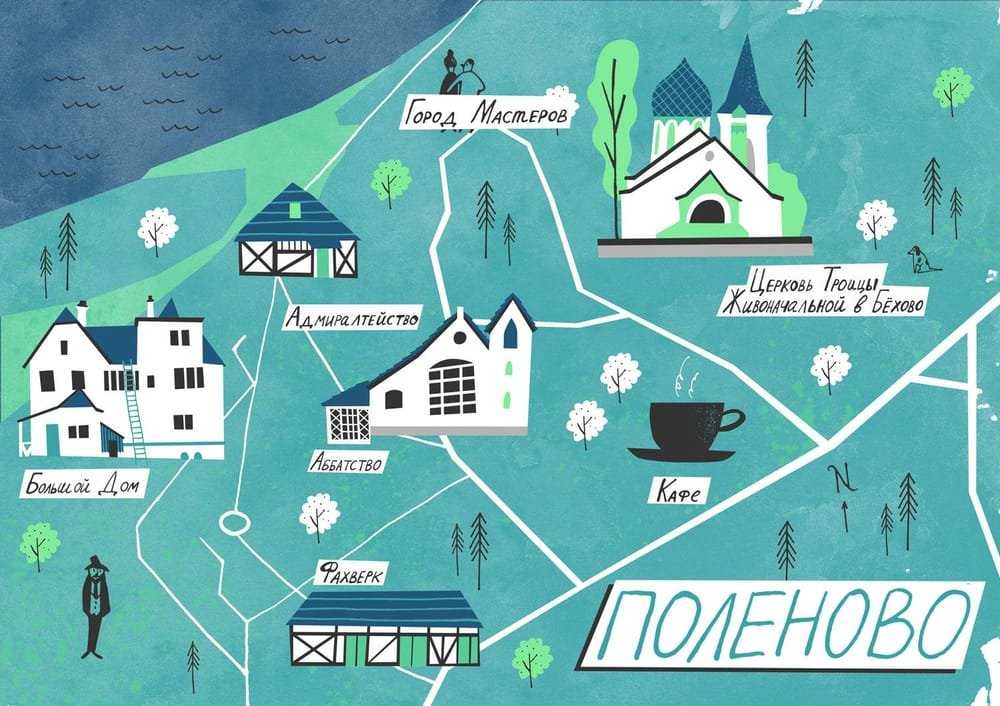
Greta Cibulskaite
Greta Cibulskaite
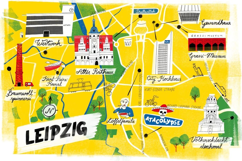
Henry Holland-Moritz
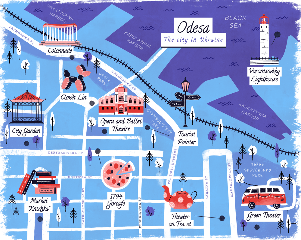
Irene Neyman
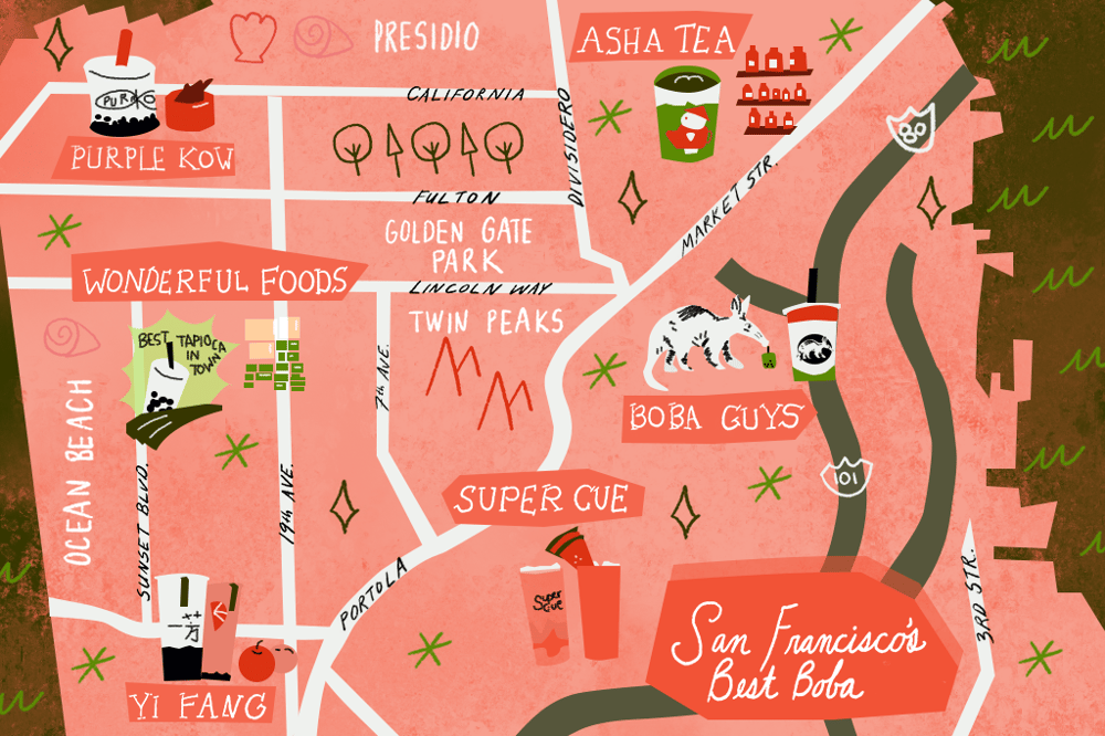
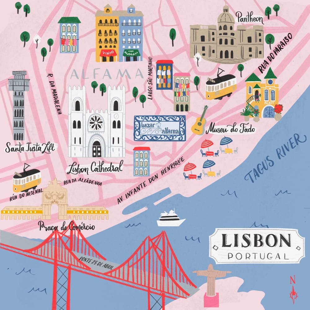
Jessica Eng
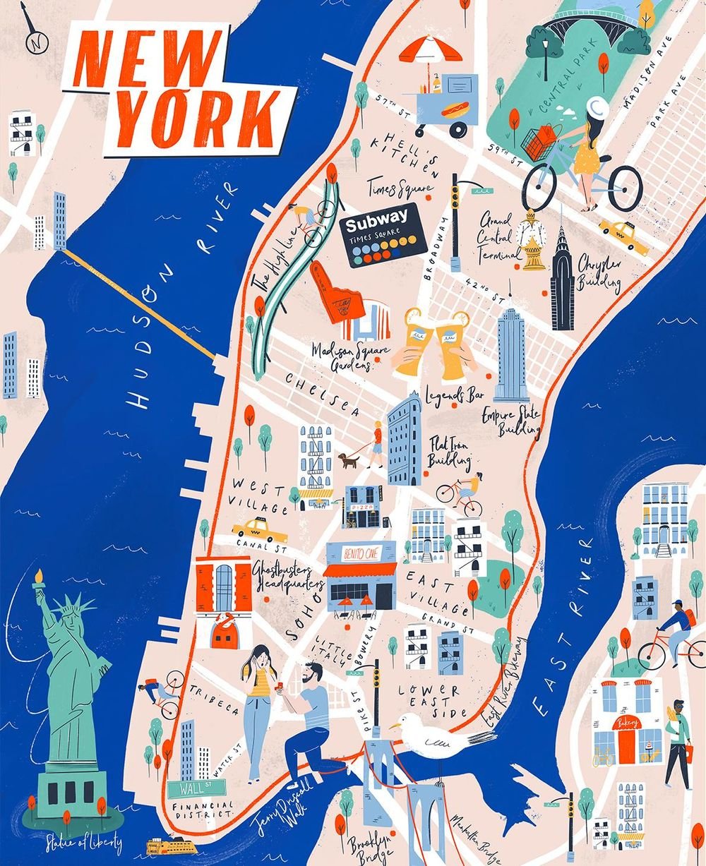
Jules O'Connor
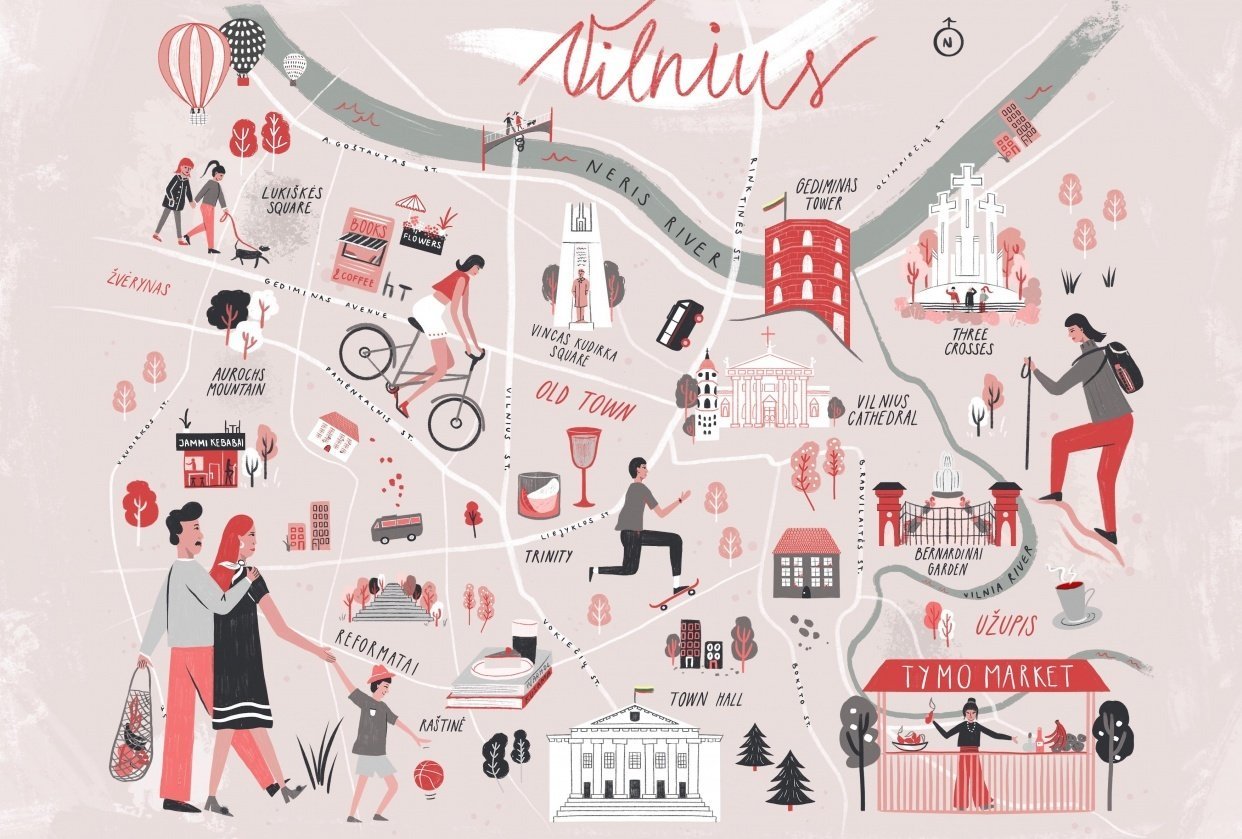
Meredith Ann
What Students are Saying about Inky Maps
“This class was beyond amazing. I've learned so much in the process, most of all about organizing the work before hand and focusing on the goal.”
Sebas Andrade
“This class is like graduate degree in digital and analog illustrations and then some. Tom is an incredible instructor, the lessons are extremely helpful, and thoughtfully organized. Thank you so much!”
Sujanitha Sambasivan
“Even if you do not work in Photoshop, this class is packed full of helpful instruction for creating illustrated maps. I work primarily work in Procreate and found several skills to incorporate into my workflow. You could even take these steps and use ink brushes within Procreate to get a similar effect, or use brushes you already love to fit your style.”
Aubrey Fite